Thanks for checking out this month’s edition of the Lens Newsletter. See the highlights here and scroll on for all the details.
If you missed this newsletter in your inbox, be sure to subscribe to stay up to date to the latest product updates, events, and remote monitoring resources.
That's a wrap on 2025! We're celebrating a year of transformation for Lens. Key achievements include:
Product innovation: We launched groundbreaking capabilities including the foundation for fully automated monitoring workflows with the Lens agent, portfolio-level intelligence through customizable dashboards, and major capabilities unlocked with powerful change detection alerts.
Expanding our reach and impact: Lens users monitored 135.8 million acres across 73 countries. We also expanded our dataset library to over 40 public datasets, 15 commercial options, plus new partnerships bringing forest carbon data and land cover information to the platform.
Customer success across industries: Organizations like American Forest Foundation, The Trustees of Reservations, and Northwoods Land Trust continued leveraging Lens to protect biodiversity, monitor easements, and strengthen landowner relationships.
Lens Lookout, our automated, customizable change detection alerts function, helps you stay ahead of unexpected changes across your areas of interest—from new construction and clearing to encroachment and vegetation disturbance. Set up automated alerts in three quick steps, then let Lens Lookout run continuously in the background, giving you confidence that priority areas aren't being overlooked between site visits.
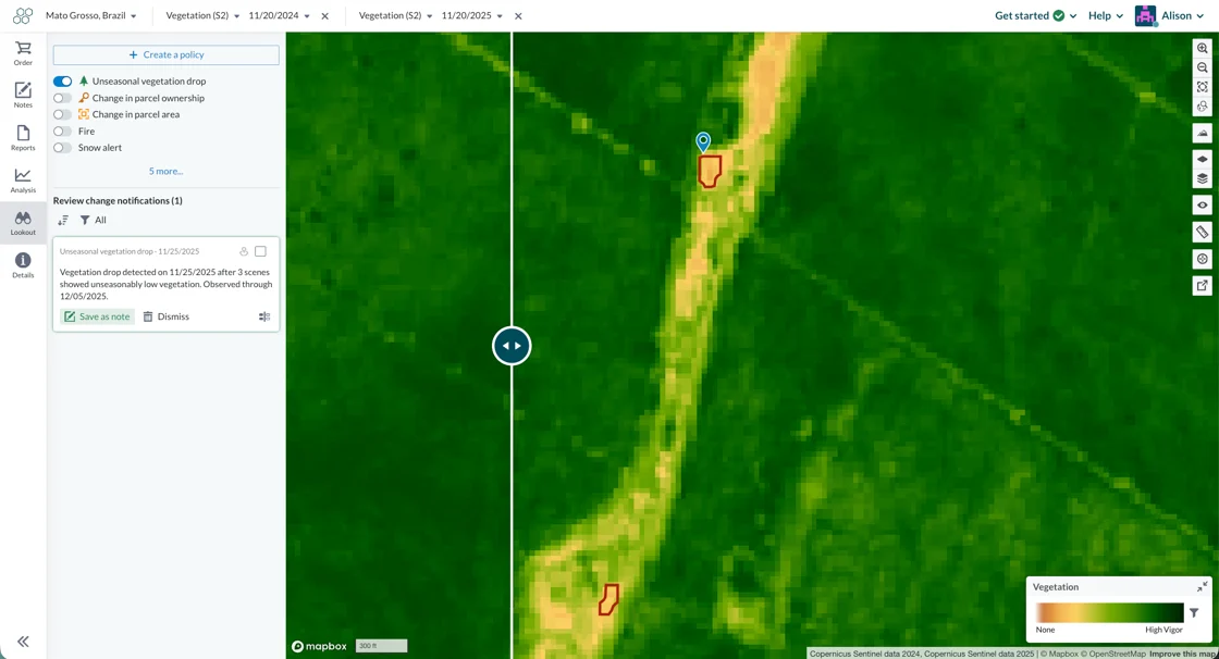
We've added two new datasets to help you track land use changes and environmental conditions across your properties. Both layers integrate with Lens Lookout's automated change detection, giving you the data you need to understand what's happening on the ground and act when it matters most. ✅
Normalized Difference Tillage Index (NDTI) detects soil disturbance and tillage activity—useful for monitoring agricultural practices, identifying unauthorized clearing, or tracking restoration progress.
Global Forest Cover provides a 2020 baseline of global forest presence aligned with EU deforestation regulations, helping you establish reference conditions and verify forest extent for compliance reporting.

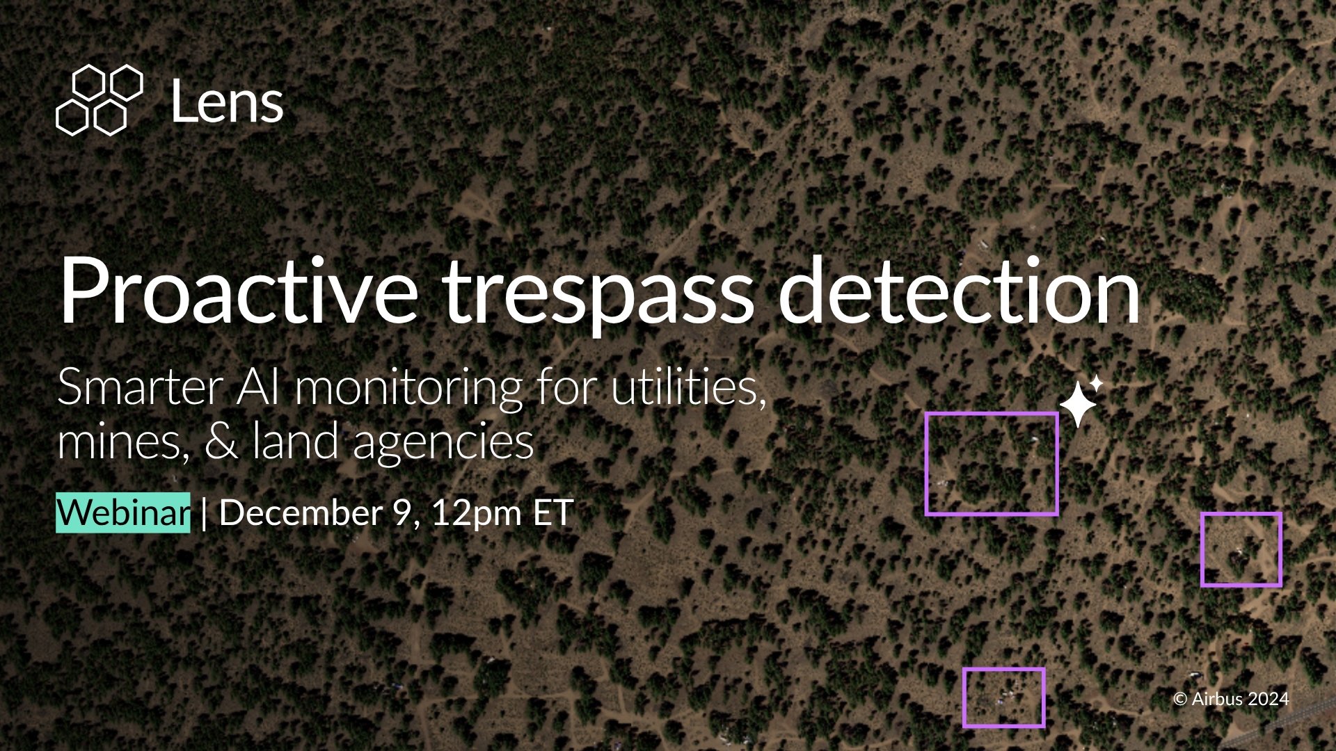
Catch the recording of our recent webinar to see how Lens helps organizations reduce monitoring costs and get ahead of risk by using remote sensing and automated detection.
Check out our latest blog on how data collected by satellites makes it back to Earth and onto your screen.
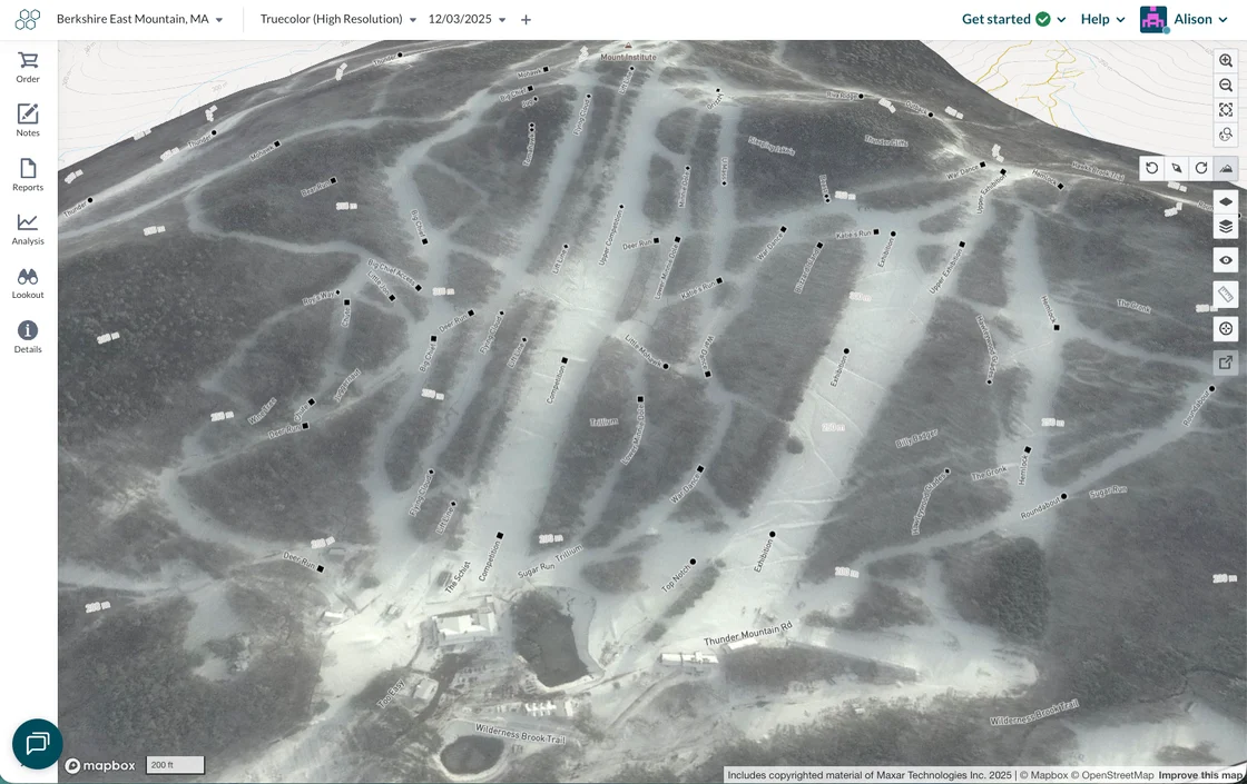
Did you know that Lens can be used for monitoring... ski mountains?! Below is a small ski mountain in Massachusetts, and no—it isn't covered in black diamond trails 😅. The circle, square, diamond and double black diamond symbols all appear in black, so we recommend zooming in on trails to double check difficulty if you're going to plan a route down the mountain in Lens!
Stay update with the latest in Lens by heading to our Resources page, and feel free to drop us a line with any questions.
Happy monitoring!
- Alison & the Lens Team
.png)
.png)
.png)