Smarter, efficient remote land monitoring to detect risks and reduce costs
Lens is a user-friendly, AI-powered remote monitoring tool designed to streamline access and analysis of geospatial data. With robust capabilities to help you manage vast landholdings, monitor right-of-ways, and optimize critical infrastructure, Lens empowers utilities to proactively address risks, increase reliability, and significantly reduce operating costs.
.webp)
Identify threats before they escalate with near-real-time change detection, reducing emergency responses and unplanned outages.
Prioritize on-the-ground interventions, cut routine site visits, and streamline compliance reporting, all while increasing monitoring coverage.
Centralize all monitoring data and documentation for internal and regulatory use, with automated reports and audit trails.


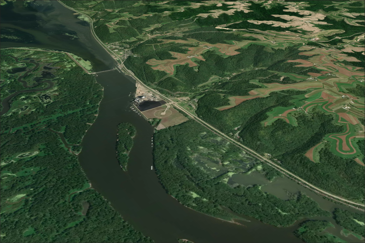
Utilities oversee thousands of parcels including leased properties, right-of-ways, critical infrastructure, and high-risk zones vulnerable to fires, encroachment, illegal dumping, and more.
Lens is engineered for the scale and demands of utility operations, acting as a critical layer of protection to ensure staff time and investment are focused where they matter most.
%20(2000%20x%201700%20px)%20(1).png)
Utilities use HydroForecast to maximize hydro generation, optimize water storage, and proactively mitigate costly water-related risks.

.png)
.png)
.png)

%20copy.png)
