Remote monitoring and reporting for everyone.
Monitor land use and land cover change with satellite imagery and machine learning. Built for conservation, carbon, government, agriculture, and utilities.

Built and trusted by experts, our products leverage the latest technology to support large-scale, high-impact decisions for land and water.
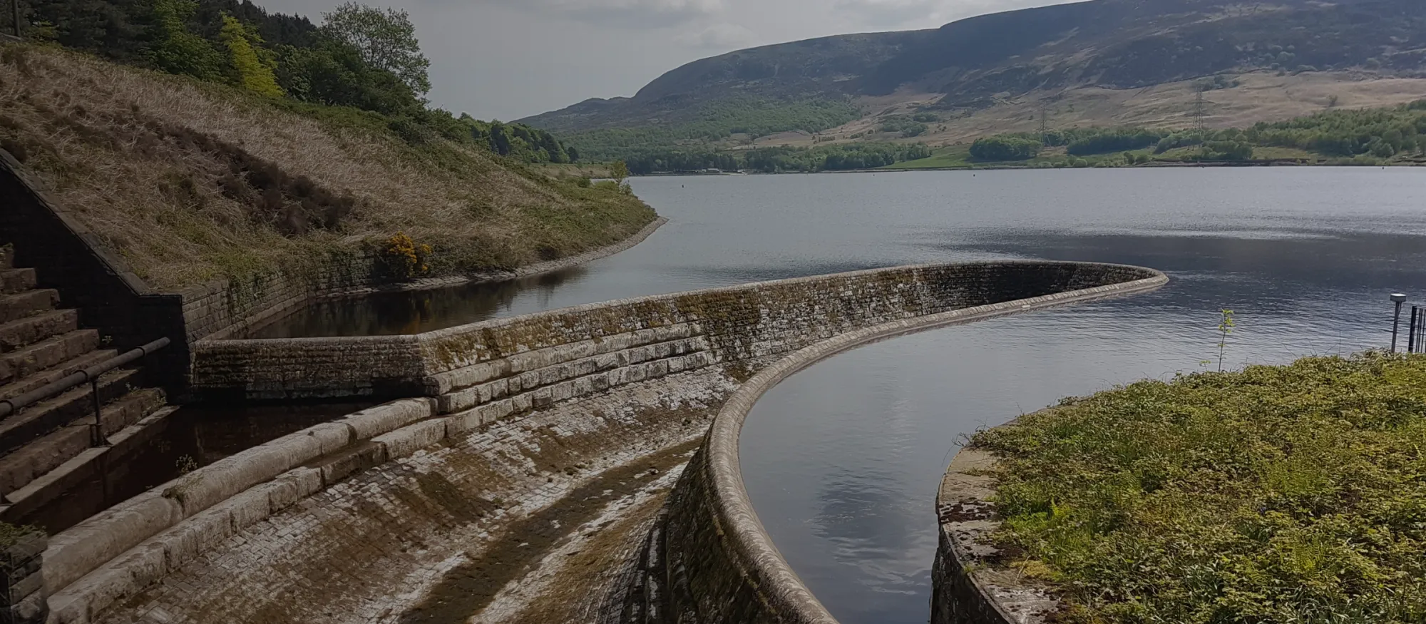
We build software that accelerates the pace and scale of conservation, restoration, and renewable energy.
Monitor land use and land cover change with satellite imagery and machine learning. Built for conservation, carbon, government, agriculture, and utilities.
Industry-leading streamflow forecasts powered by machine learning. Built for reducing risk, optimizing operations, and maximizing revenue.
Our team applies deep expertise in software engineering, machine learning, geospatial sciences, hydrology, and more to pressing land and water challenges.
Since our founding in 2016, we've continuously worked to develop and improve Lens and HydroForecast. Our work has been recognized by top agencies and backed by industry leaders, with R&D grants, industry contests, and customer results acknowledging our products' scalable impact.
R&D grant recipient
Small Business Innovation Research grant recipient (x3)
Awarded by the National Hydropower Association
Named 25 Tech Startups to Watch in 2024
Case studies, research, and writing from the Lens and HydroForecast teams.
The operational business case for a streamflow forecasting platform
More lead time for better operational planning.
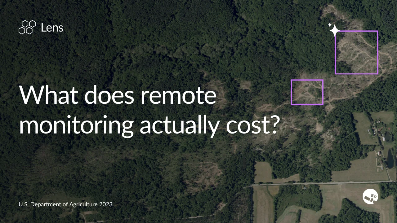
What does remote monitoring actually cost? A look at ROI across sectors
Seven years of ROI data on remote monitoring across land trusts, government agencies, and utilities — plus a calculator to estimate your own savings.
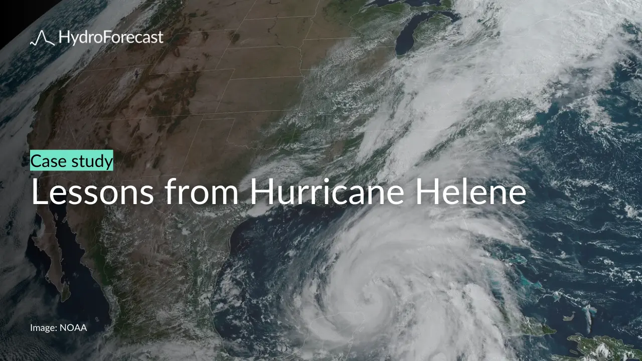
Hurricane Helene: How AI streamflow forecasts performed

Lens Newsletter: July 2026
The latest in Lens
HydroForecast Newsletter: July 2026
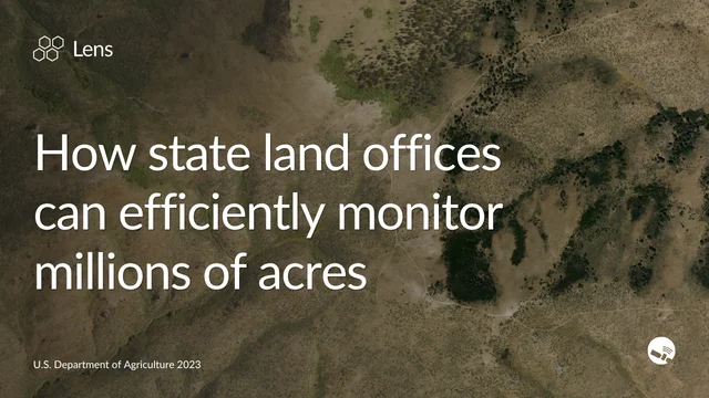
How state land offices can more efficiently monitor millions of acres
Satellite imagery, trend analysis, and AI-powered change detection are changing the math on monitoring millions of acres of state trust lands.