.png)


.png)


.png)
.png)


HydroForecast offers best-in-class forecasting solutions to meet your needs across horizons. Plan for streamflow events hours, days, weeks, months, and even decades into the future with industry-leading accuracy and reliability.
If you’re looking for longer term forecasts at scale, regional generation insights, or historical analyses, we also offer custom forecast solutions.
Hourly forecasts for the next 10 days so you can improve tactical planning and optimize operations.
Daily forecasts out 90 days so you can make more informed seasonal water-supply decisions.
Daily forecasts up to 1 year out for improved strategic long-term planning.
"HydroForecast has proven to be an important datapoint for Brookfield Renewable's reservoir planning and management activities. It has led to a more proactive approach to the short- and mid-term planning, an improved probabilistic view of generation and enhanced trading and operational decision-making. We've built a synergistic and collaborative relationship with the team at Upstream Tech that has proven invaluable to the development and integration of HydroForecast within our systems. HydroForecast has been a truly successful project for Brookfield Renewable."
Our unique and powerful hydrological modeling, paired with the latest advancements in AI, make HydroForecast the most accurate streamflow forecast available.
HydroForecast swept a yearlong, short-term flow forecasting competition. In every competition region, HydroForecast was more accurate further into the future and provided better insight in both drought conditions and 1,000-year storms.

Real-time data and advanced modeling ensure reliable predictions in extreme weather. Available 24/7/365, even with gauge failure or missing data.
Our AI models are trained on large datasets to adapt to extreme weather, evolve with new inputs and technology, and stay ahead of changing conditions.
Integrate HydroForecast with your systems and processes. Our dashboard and API simplify data management and analysis for better planning.
Work directly with our team of PhD hydrologists and top machine learning engineers to bring science, tech, and business expertise to address your forecast needs.
"Snowmelt season is critical for New Brunswick Power's hydroelectric operations. HydroForecast has been helpful monitoring freshet closely this season. The forecast performance is strong and we have been utilizing it daily for hydro optimization to stay prepared for changes in water supply and mitigate risks."
- Chris Carson, Director of Operations, New Brunswick Power
With HydroForecast, we've created a groundbreaking AI hydrology model that learns the physical relationships governing streamflow prediction—achieving unprecedented scale and complexity only possible with AI. We incorporate the best data inputs, build off our strong foundational model, and tune our model to your basin to provide the most accurate probabilistic streamflow forecasts, tailored to your specific needs.

"Using HydroForecast has provided extremely helpful insight into short-term and long-term/seasonal inflow predictions. The graphics effectively communicate forecasts in a manner which allows teams from various disciplines to easily interpret and utilize the information, [and] HydroForecast also allows for easy integration into other in-house tools."
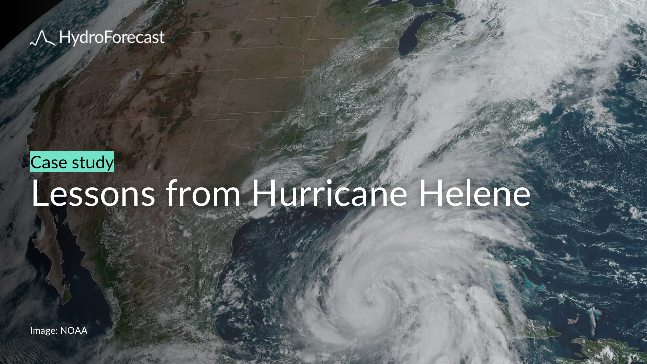
When extreme weather hits, HydroForecast keeps water management running smoothly. When Hurricane Helene overwhelmed traditional forecasting systems, HydroForecast delivered:
.png)
.png)
.png)
.png)
.png)
.png)
.png)
.png)
.png)