Thanks for checking out this month’s edition of our Lens newsletter. See the highlights here and scroll on for all the details!
If you missed this newsletter in your inbox, be sure to subscribe to stay up to date to the latest product updates, events, and remote monitoring resources.
The team has been busy this month adding valuable datasets to Lens! Check out our recent post on land cover and vegetation datasets.

And that's not all! We've added nearly a dozen more new datasets and layers to Lens Library, including:
The USGS Cheatgrass dataset provides annual fractional percent cover estimates of cheatgrass (Bromus tectorum) across the western United States sagebrush biome at 30m resolution.
The Annual NLCD Fractional Impervious Surface dataset provides the fractional surface area of each pixel that is covered with impervious surfaces such as pavement, concrete, or rooftops.
ESA's Climate Change Initiative (CCI) Biomass project provides global data on above-ground biomass of woody vegetation for 2007, 2010, and annually from 2015-2022 at a 100m resolution.
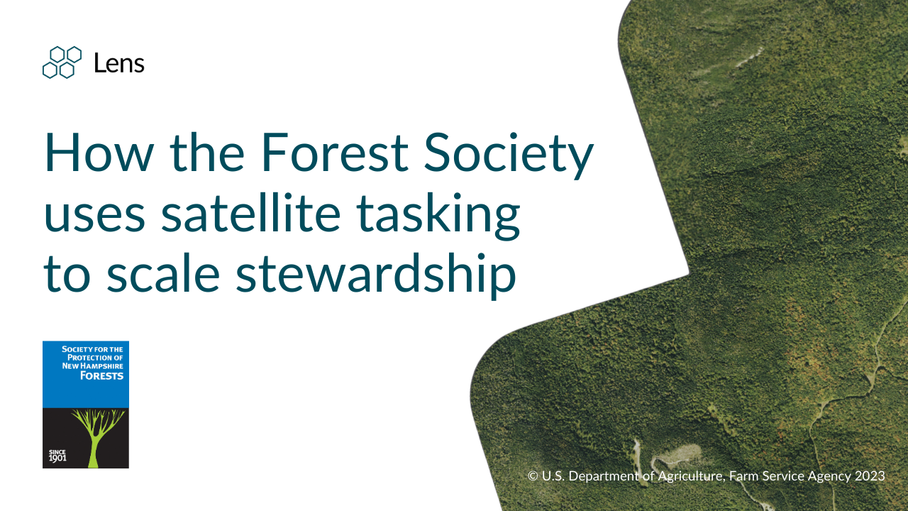
Check out our new blog highlighting how the Forest Society leverages satellite tasking with Lens to monitor 136,000 acres over 800+ properties.
.png)
Check out our new blog on how Washington County's assessor used Lens to identify over $3 million in new assessed value, boosting ROI, reducing field visits, and improving workflows.
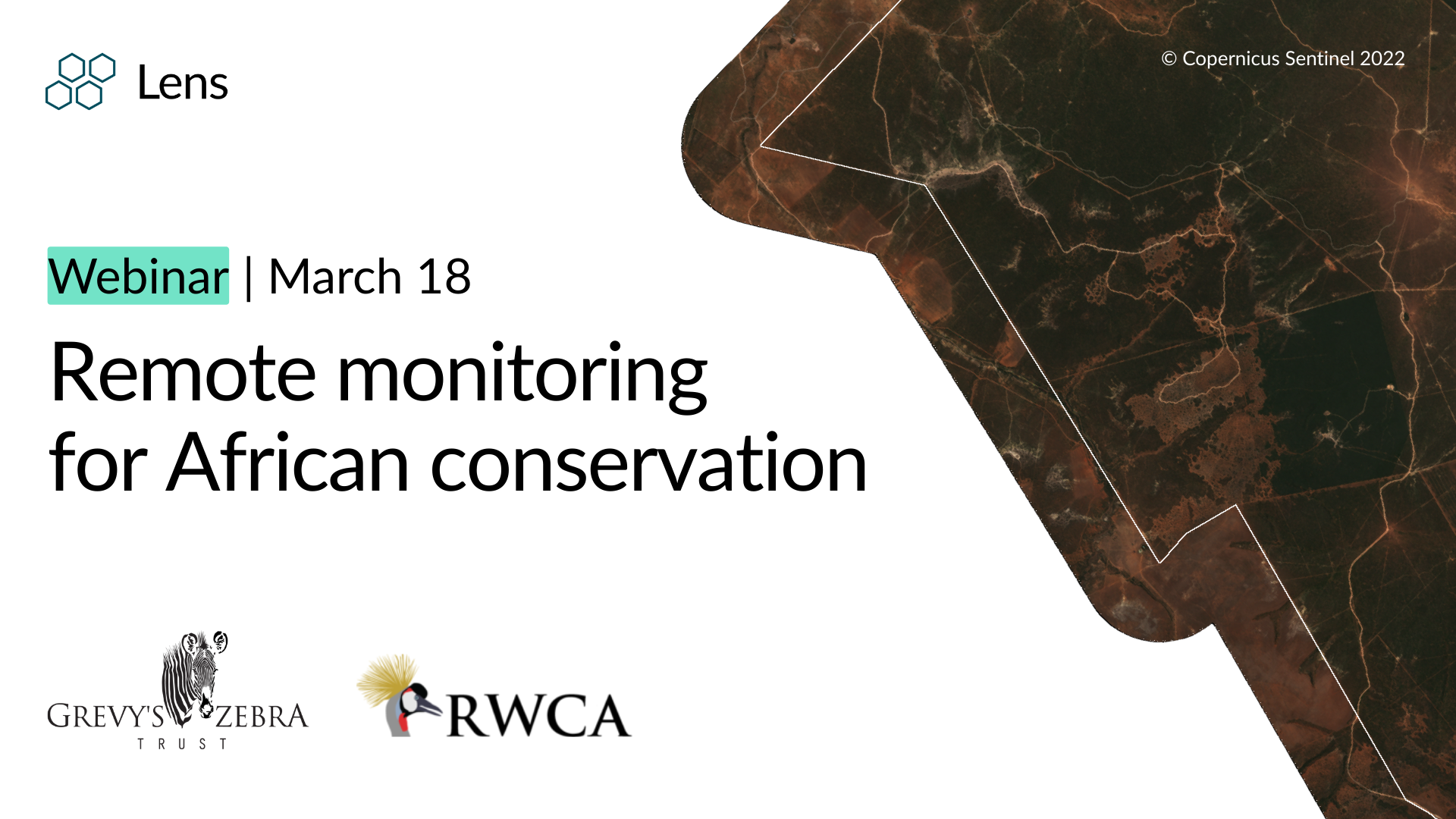
Catch the recording of our recent webinar about how African organizations protect ecosystems, manage resources, and track progress toward restoration goals.

We're thrilled to be presenting at this year's conference! Join us for our lightning round talk on Thursday, April 30 from 10:15 – 11:15 AM — AI + High-res Imagery: An Exciting Year of Breakthroughs in Automated Monitoring. (Session 38: Tech Connect – Lightning Rounds)
Essex County Branch Brook Park has the largest and most varied collection of Japanese Flowering Cherry Blossom trees in the United States. With 5,300 trees in 18 varieties in the park, we hoped we could find satellite imagery captured at just the right moment to highlight these blooms. This image was captured during peak bloom week in 2025. Explore more of the park in high-res satellite imagery.

Stay update with the latest in Lens by heading to our Resources page, and feel free to drop us a line with any questions.
Happy monitoring!
- The Lens Team
.png)