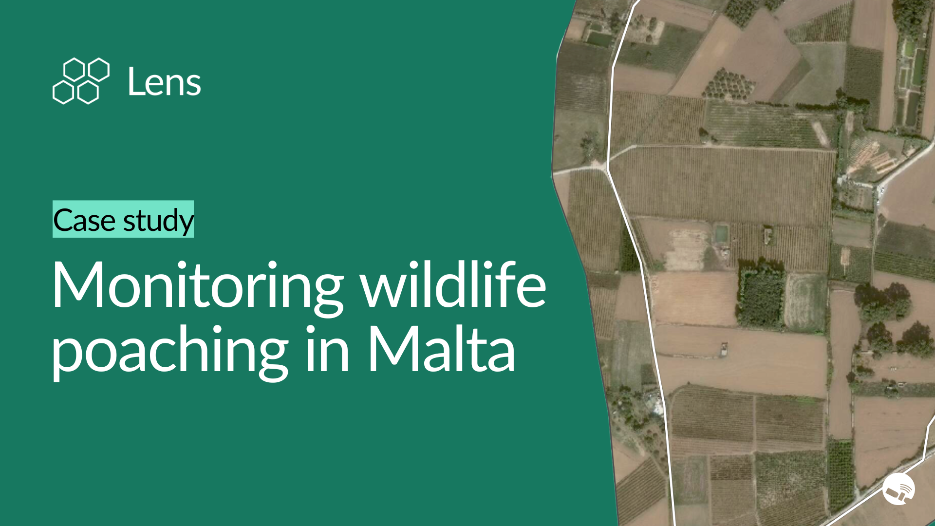
For many years, poachers in Malta have illegally trapped migratory songbirds like finches by clearing areas for large nets, and lured waterfowl by creating artificial ponds on their property. For bird conservation organizations and enforcement agencies, detecting these activities has often been impossible without the ability to access private property. Remote monitoring offers a safe and comprehensive approach to overcome this challenge. With advanced analysis tools and a library of commercial satellite sources to choose from, Lens makes it possible to monitor poaching activities at unprecedented scale and accuracy.
In this example, we cover how to:
Get in touch with our team to learn more about Lens.
With Lens, wildlife conservation teams can access high-resolution imagery from top commercial sources including Airbus, Maxar, Planet, and Nearmap. Using imagery from April 2024, artificial ponds and trap sites created by poachers become clearly visible on the landscape. Even though these features are small—often less than 100 square meters—they can be precisely tracked using Lens's built-in measuring tools. With collaborative notes, other team members can review findings and add context such as ground-level photos.
By comparing imagery from 2019 to 2024, we can identify the growing footprint of these illegal activities, such as additional trap sites and new artificial ponds. Beyond visual analysis, Lens provides high-frequency data from Sentinel-2 that detects when ponds are flooded—timeline charts reveal activity spikes like the spring 2022 site activation captured in the monitoring data.
The Lens platform enables wildlife protection organizations to overcome traditional monitoring limitations by providing comprehensive coverage of areas that would be dangerous or legally impossible to access through ground surveys. For managers coordinating anti-poaching efforts, habitat protection programs, or international migratory bird conservation initiatives, this remote monitoring capability transforms individual site intelligence into a landscape-wide enforcement strategy.
When it comes to protecting migratory birds, enforcing wildlife protection laws, and ensuring safe migratory habitats, Lens brings together the imagery, analysis tools, and actionable insights to support critical wildlife conservation decisions at any scale.
Contact our team to get started in Lens.