For environmental agencies and organizations managing land, tracking industrial development across protected and sensitive landscapes is essential for conservation efforts and regulatory compliance. Tracking the timing and progress of development has traditionally required extensive field surveys and keeping a constant eye on what's happening on the ground, but automated change detection in Lens offers a proactive approach to streamline this process and ensure timely responses to threats from development.
In this example, we cover how to:
Get in touch with our team to learn more about Lens.
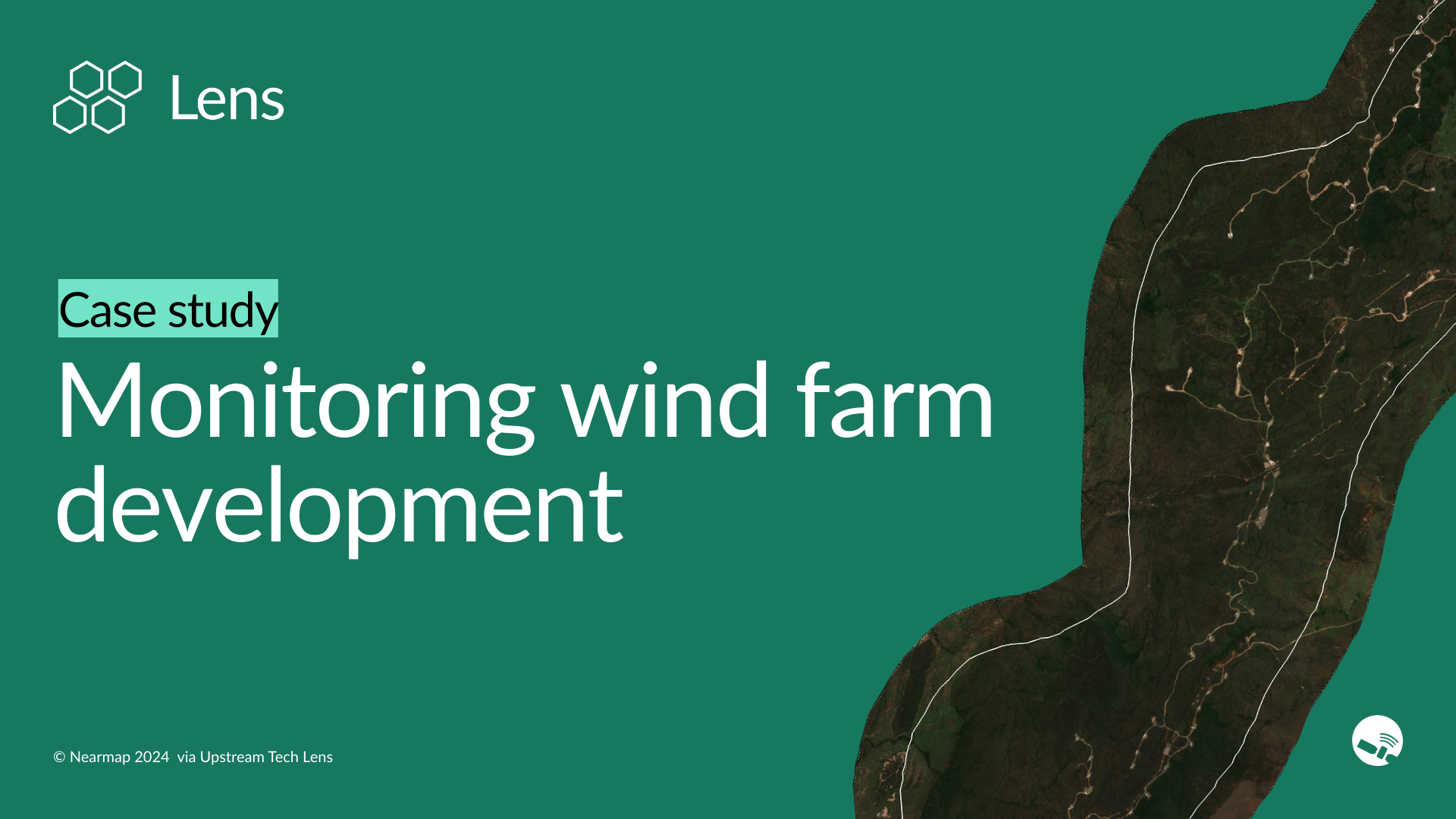
With Lens, environmental monitoring teams can access publicly available imagery that updates as often as every five days, as well as leading commercial high-resolution satellite imagery purchased on a per-area basis. Here, we examine an area in Queensland, Australia to demonstrate how you can efficiently track wind farm development and detect changes in near real-time.
Using true-color imagery in Lens, we can easily monitor the significant development pressure in this area. Over the past three years, we can see where small access roads and turbine installation pads have sprung up in what was previously an undeveloped landscape. Easy access to high-frequency data enables land stewards to catch these changes as they happen rather than discovering them months later.
In addition to spotting new infrastructure, this real-time monitoring capability can also support land management use cases including:
Using publicly available vegetation indices from Sentinel-2, Lens can help you automatically detect development and clearing activity. It’s easy to see areas with low vegetation where we see white and orange colors on the map, while areas with higher vegetation vigor appear in darker greens. We can also trace natural seasonal fluctuations in the analysis tool.
Taking that a step further, using Lens Lookout, you can create custom notifications to be alerted when a significant change in vegetation occurs. When vegetation is cleared to develop a landscape—in this case, to clear pads for wind turbines—Lens sends your team automated notifications. Our machine learning algorithm highlights affected areas so you can quickly find changes you might not have expected.
With Lens, land managers can reconstruct detailed development timelines by analyzing vegetation patterns over multiple years. In the Australian example, different turbine locations were cleared at different times—one between mid-July and early August 2022, another in late 2023—helping managers understand development patterns and verify compliance with construction schedules.
Lens combines automated change detection, high-frequency imagery, and quantifiable insights to support environmental monitoring decisions at any scale.
Get started in Lens today, or contact our team to learn about which plan is right for your monitoring needs.
.png)