Thanks for checking out this month’s edition of our Lens newsletter. See the highlights here and scroll on for all the details!
If you didn't receive this newsletter in your inbox, be sure to subscribe to be the first to know about the latest with Lens.
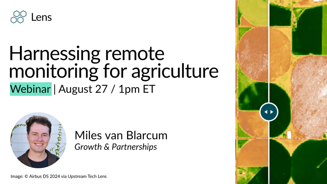
August 27 | 1pm (EST)
Join us on August 27th for a session on how remote monitoring tools can support agricultural land management, improve farm records, and evaluate current use. Whether you’re monitoring enrolled parcels for soil health practices, verifying program compliance with state requirements, monitoring protected farmland and easements, understanding harvest and irrigation trends, or identifying crop types, Lens has you covered. Register to attend.
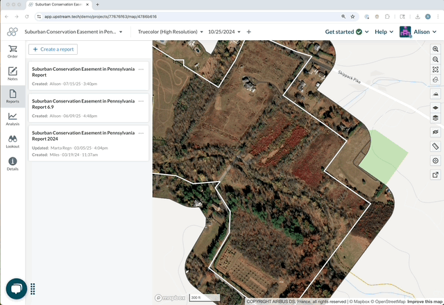
You asked, and we listened: default text to support adding templates to reports is now available! Add default text on the Settings > Organization page, which will then be automatically included on the first page of reports when they're created. This is a great way to add a template, a disclaimer statement, and the like to make sure your reporting is consistent across your team.
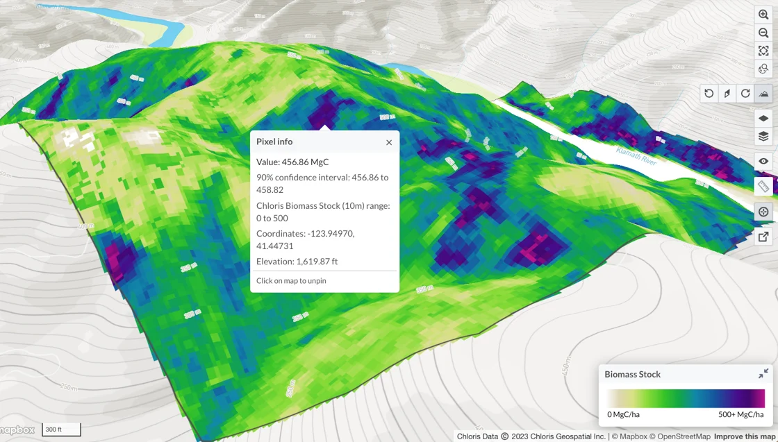
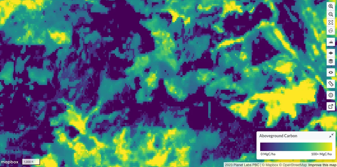
You can now view confidence intervals for carbon data directly in the pixel info tool! This update makes it easier to understand uncertainty on the fly — no need to dig through downloads.
We're excited to share that a new and improved version (v1.3) of the Planet forest carbon diligence 30m dataset is available in Lens! Improvements include 35% average reduction in pixel-level uncertainty, systematic reduction in bias (addressing overestimation issues), and 3x increase in training data, adding coverage in boreal forests. Any new orders of this data will automatically include this most recent version, and our team is actively reprocessing previous orders.
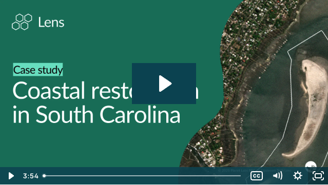
Restoration efforts at South Carolina’s Crab Bank show how Lens helps conservationists monitor, analyze, and share the transformation of critical habitats.
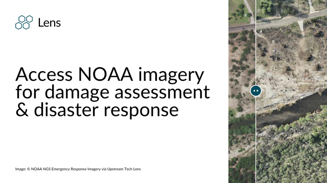
Up-to-date public imagery from natural disasters including 2025 Texas flooding events, LA fires, and Hurricane Helene are available in Lens. See the blog.
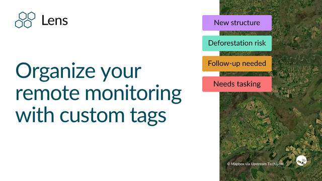
Check out this blog post for tips on how to use custom tags to keep your properties and notes organized.
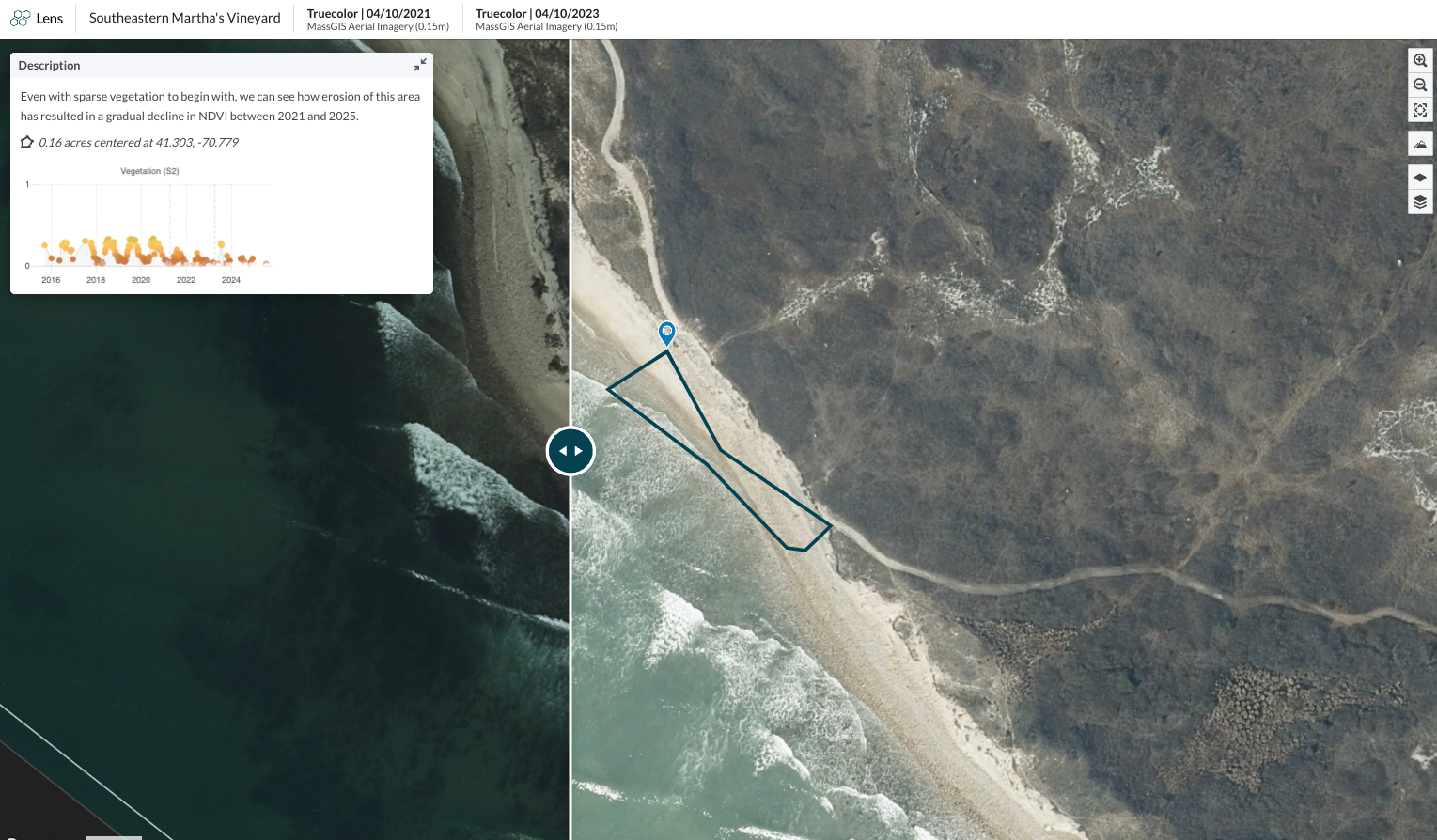
Summertime in North America brings many of us to beautiful beaches, like this one along Squibnocket Point in Martha's Vineyard. Martha's Vineyard is an island in New England famous for its beautiful coastline, which also experiences significant erosion each year. With high-res imagery we can see how the road along this beach has been partially swept away due to erosion in the area.
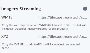
Working in a GIS platform? Easily stream high-resolution commercial imagery that's been ordered in Lens to GIS. We recommend using the WMTS streaming link to set up a one-time connection that's automatically updated - check out more information about how to use streaming links in this support article.
Check out the rest of our knowledge base to learn more about working in Lens, and know that you can always reach us at lens@upstream.tech with any questions.
Happy monitoring!
Alison & the Lens Team
.png)