For environmental agencies and organizations managing river corridors, understanding hydrologic trends and how often flood events are happening in areas of interest is essential. Tracking flood frequency and wetted width patterns has traditionally required extensive field monitoring and gauge data collection, but high-resolution satellite imagery in Lens offers a comprehensive approach to streamline this process and provide detailed flood event analysis.
In this example, we cover how to:
Get in touch with our team to learn more about Lens.
River management teams can purchase high-resolution imagery directly in Lens, as well as access included publicly available datasets. With easy access to the latest imagery of your management site, users can see a detailed view of flood events soon after they happen.
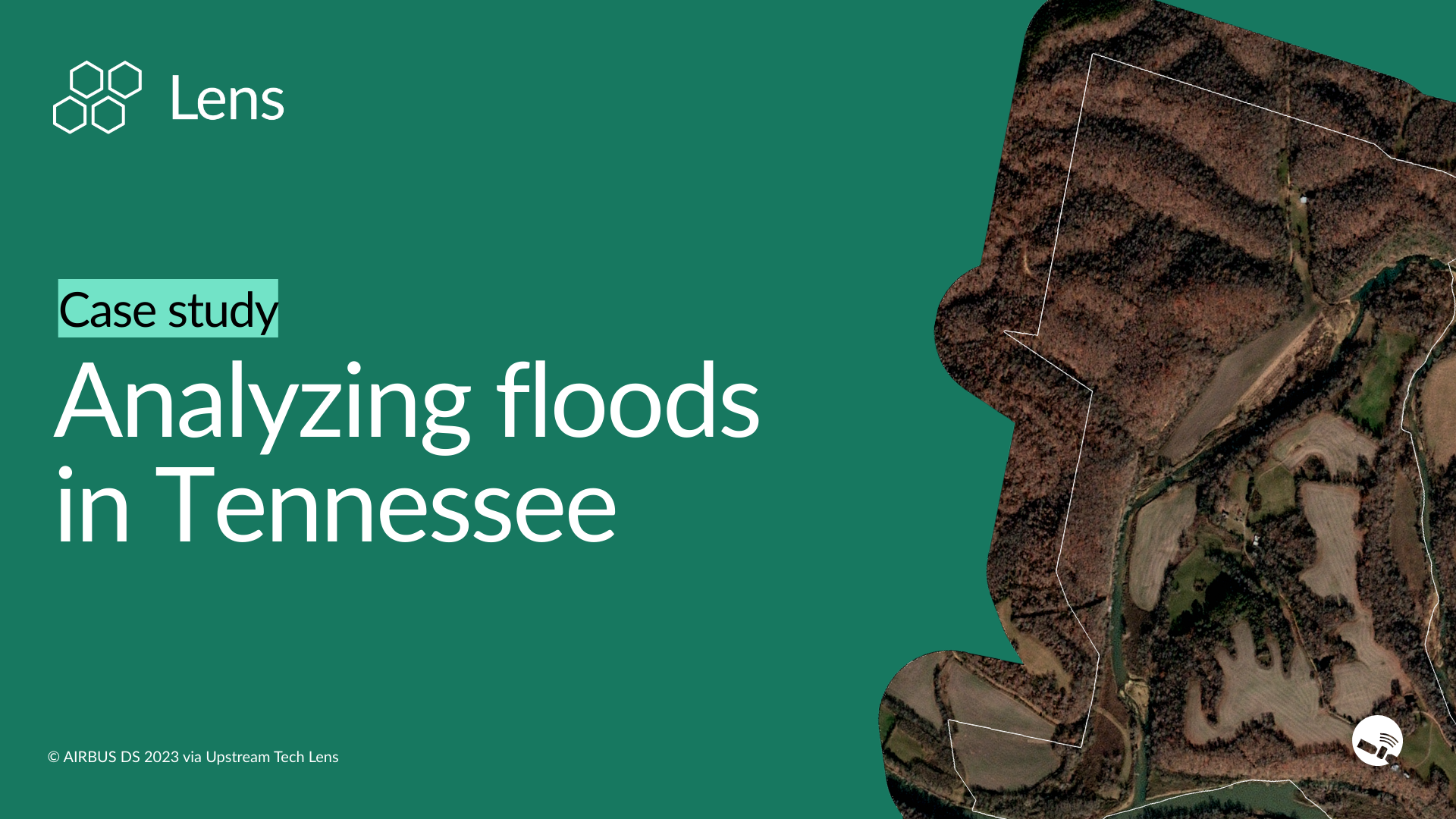
In addition to facilitating quick response for recent events, Lens can also help managers to pinpoint exactly when and where a flooding event occurred in the past. In this example, we look at two images of this Tennessee property captured just one day apart. We're able to see clearly elevated flood waters on the first day in January. In the second image taken the next day, most of those floodwaters have subsided, but they've left behind mud in the floodplains.
Using the analysis tool in Lens, you can quickly detect flood patterns and moisture trends over extended periods. By selecting the particular part of the property that has the remnants of flooding, the analysis tool helps you understand how often this area has been saturated.
After selecting and analyzing the floodplains in this example, Lens reveals a compelling story going back about 10 years sourced from public satellite imagery: in the late summer months, this river is nearly dry, with hardly any surface moisture by the end of the summer most years. But in the late winter months and early spring, that's when this area tends to flood.
The outlier points shown as dots on the timeline can also be instructional when analyzing an area. When you click on one of these points, Lens can show you this associated flood event, helping you gauge not only the frequency of these events but also the size of an event.
For further analysis, river managers can use the measurement tool in Lens to quantify flood events. With imagery of active flood events, you can measure exactly how wide the flooding extends—in this Tennessee example, about 440 feet across. You can further see what this property looks like after the flood event to see where that moisture has been retained in the soil. This data is extremely actionable for flood impact assessment and recovery monitoring.
After examining imagery and performing analysis, Lens makes it easy to save your findings as a collaborative note. These notes are visible across your organization in the notes pane, allowing teams to quickly see what areas have been monitored and which findings need following up.
Get started in Lens today, or contact our team to learn about which plan is right for your flood monitoring needs.
.png)
