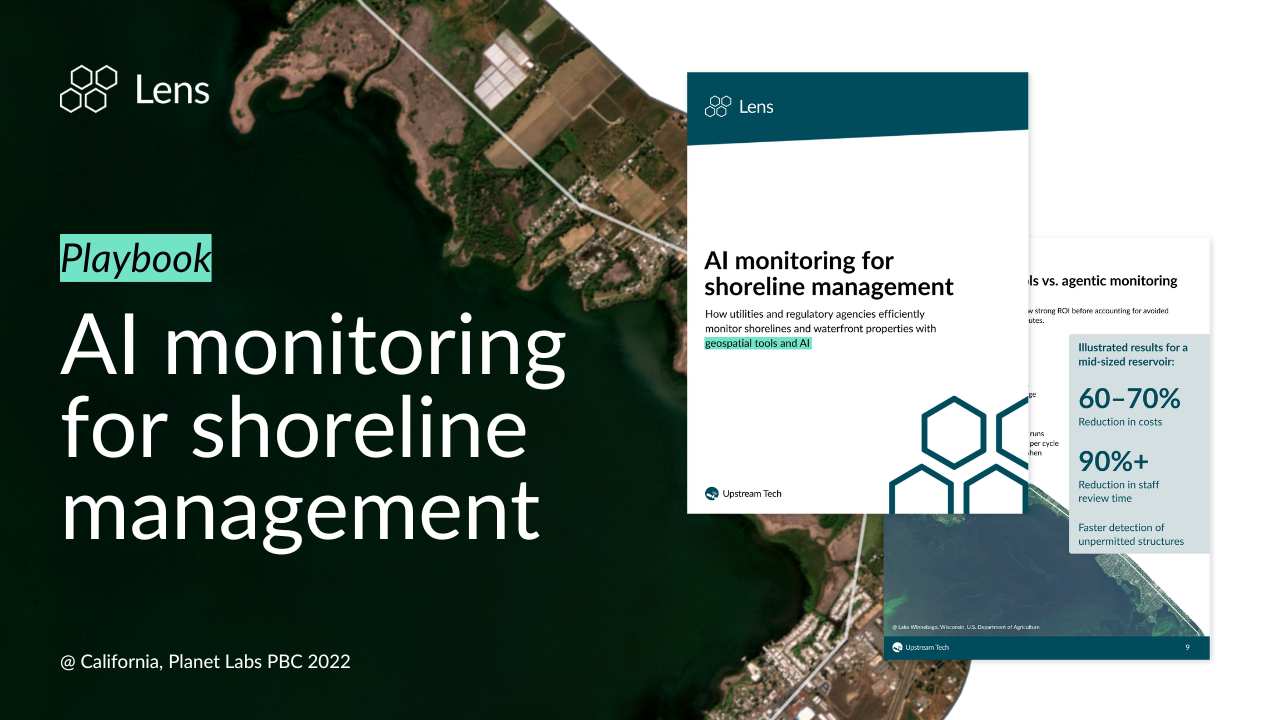
Learn how utilities and government authorities can monitor shorelines with satellite imagery and agentic AI in Lens to detect unpermitted structures and compliance issues early — all while reducing monitoring costs by 60–70% and review time by over 90%. Access the playbook for a step-by-step framework for automating your shoreline monitoring workflow.
This playbook is built for reservoir managers, water utilities, and regulatory agencies who oversee thousands of shoreline miles with limited staff and budget to monitor shoreline activities. You'll learn how agentic monitoring with Lens can help you:
The practical four-step framework is adaptable to your own reservoirs and protected waterbodies. Fill out the short form above to access the playbook and see how your team can move from expensive, infrequent boat patrols to proactive, AI-supported shoreline oversight with Lens.
Have questions about Lens? Get in touch with our team to discuss your remote monitoring needs.