How does a small stewardship team monitor thousands of acres every year without increasing their budget? For Society for the Protection of New Hampshire Forests (the Forest Society), the answer has come through several decades of experimentation and adapting new technology. For the last 6 years, it’s meant remote monitoring and satellite tasking with Lens. By accessing consistent, defensible imagery across their properties, they’ve dialed in a modern monitoring workflow that scales their impact, fulfills their stewardship obligations, and stays within their monitoring budget.
The Forest Society is a statewide conservation organization with more than 800 conservation easements, deed restrictions, and restrictive easements across 136,000 acres. With parcels ranging from one acre to nearly 20,000, it’s a landscape as diverse as it is expansive. The Forest Society oversees forestlands, working lands, and remote parcels across New Hampshire.
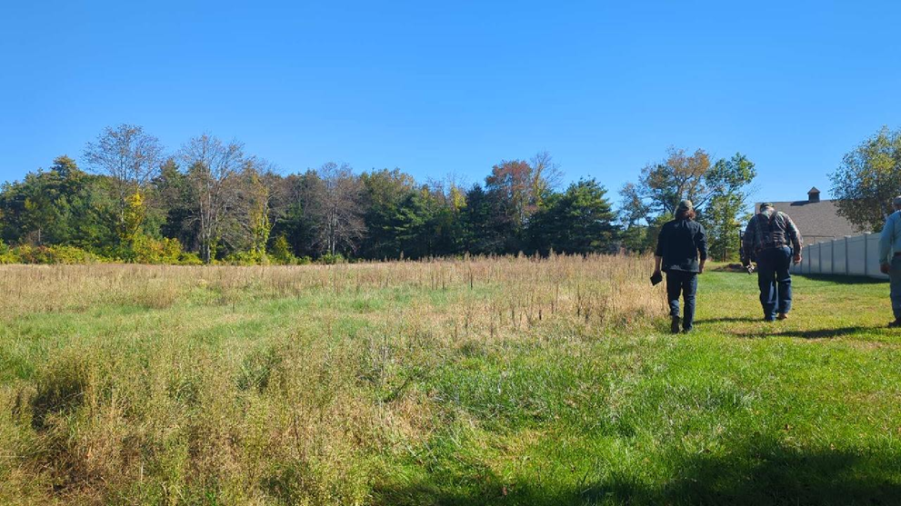
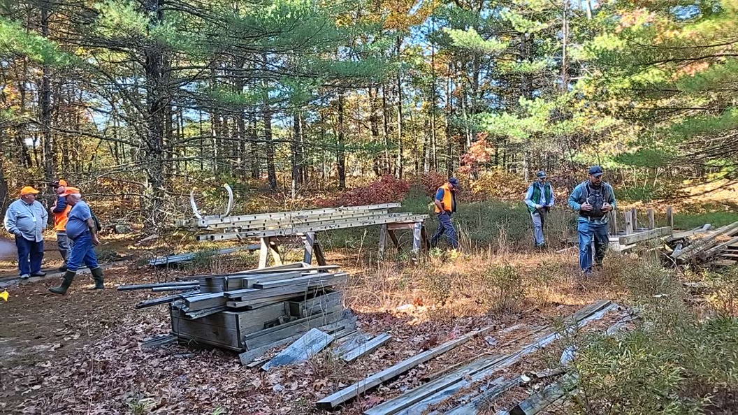
Their easement stewardship team is led by long-time Lens user, Naomi Brattlof, Easement Stewardship Director. She oversees three full-time staff members who each monitor one third of the organization’s easement portfolio. It’s a tall task — especially considering that each year, roughly 300 of their properties require on-the-ground visits.
We sat down with Naomi to learn how her team approaches and prioritizes their monitoring. We’ll discuss their history with satellite tasking and share the tips Naomi recommends for organizations who are just getting started with remote monitoring.
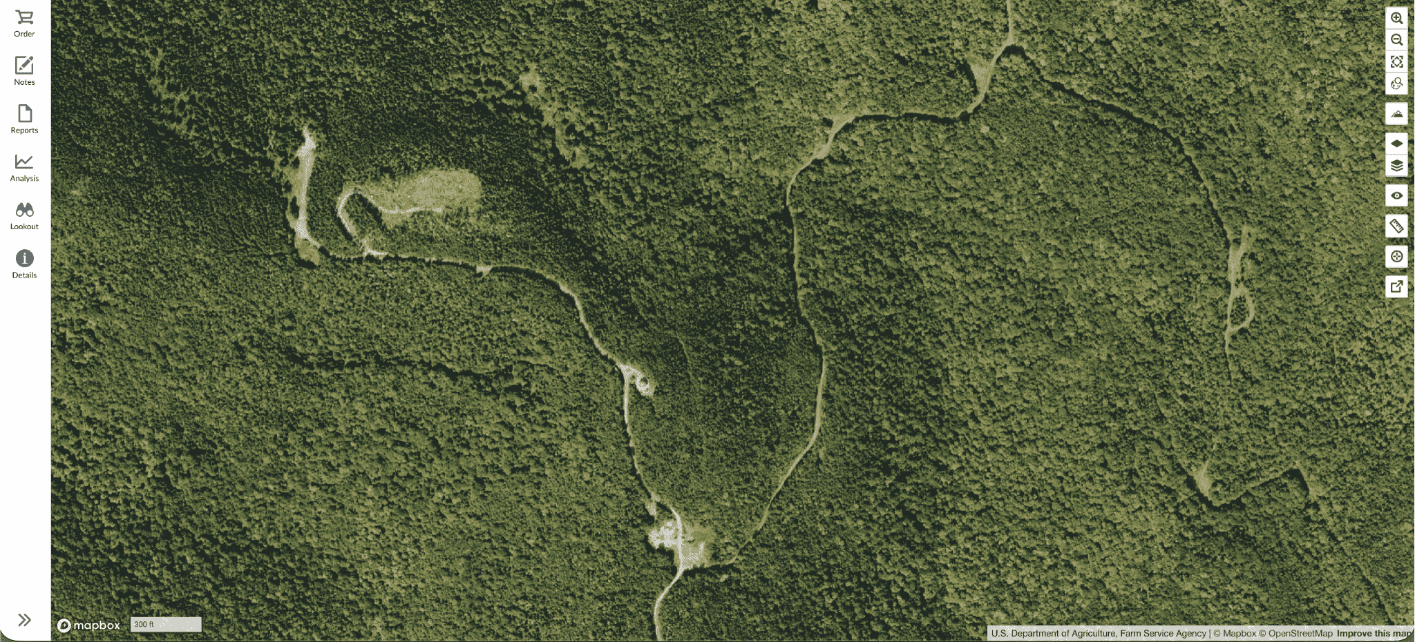
Naomi and the the Forest Society team have been Lens users since 2020. As we got to know their team and their portfolio, our initial analysis of the Forest Society’s properties showed that about one-third of their portfolio received reliable annual imagery in the library archives, making them a perfect candidate for satellite tasking.
Before making the switch to Lens, the Forest Society relied on planes to capture monitoring imagery. But with New England’s notoriously short leaf-off, no-snow window, there was always an extremely tight timeframe to capture usable imagery. Even when the planes did successfully capture imagery, it was sometimes misaligned or unusable. “We just weren’t getting the imagery that we needed,” Naomi says, and those limitations in imagery were ultimately what necessitated the Forest Society to explore other monitoring options.
While the archive of satellite imagery is vast and often fills many of the gaps left by flyovers and manual monitoring, some organizations still need imagery captured at very specific times or under very specific conditions. And for groups like the Forest Society, the combination of remote landscapes and such a narrow seasonal window means that archive imagery simply isn’t available for every property every year. That’s exactly where satellite tasking becomes such a powerful fit, ensuring they can consistently capture the conditions they need, when they need them.
“Tasking is a great tool, especially when it’s the only option to get the imagery you need. It fills the gaps nothing else can.” - Naomi Brattlof, Easement Stewardship Director, Society for the Protection of New Hampshire Forests
Satellite tasking is the process of requesting new, cloud-free, high-resolution imagery of a specific area during a specific timeframe. Unlike relying on existing library imagery, tasking ensures:
>>> Learn more about satellite tasking with Lens
Now, satellite tasking has become a way to eliminate the headaches that had plagued their aerial program. Naomi says, “the actual consistency of available imagery has been huge for us — not having to stress about whether we’ll get something we can use.”
After replacing plane flyovers with Lens, the Forest Society discovered that this shift didn’t require a bigger budget. After nearly a decade of evolving their workflow from planes to a mix of library imagery and tasking, the Forest Society has been able to maintain every one of their monitoring requirements while staying within the same annual monitoring budget they used more than ten years ago.
In addition to this budget stability, the Forest Society has seen a range of benefits significantly boost the efficiency and defensibility of their monitoring work.
“Using Lens has allowed us to be a lot more specific in our monitoring, and that’s made our program more effective—especially when it comes to documenting and enforcing what we see on the ground.” - Naomi Brattlof, Easement Stewardship Director, Society for the Protection of New Hampshire Forests
More reliable imagery
The Forest Society can now depend on receiving imagery for every property every year — something that proved impossible with aircraft.
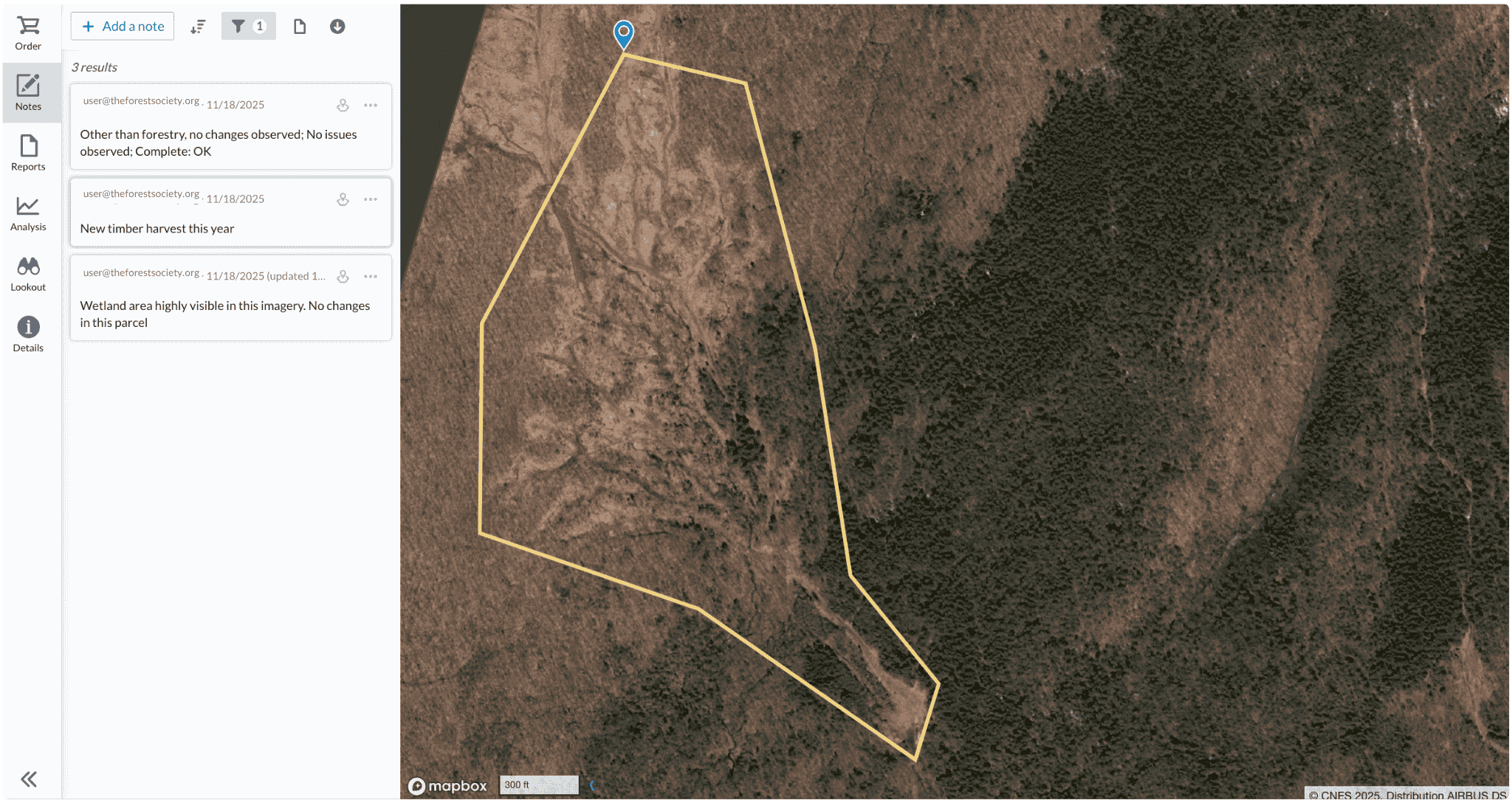
Better enforcement & documentation
Lens has improved the precision of the Forest Society’s monitoring notes and reports. This has strengthened their ability to track changes, document events like timber harvests, and maintain strong enforcement records.
More strategic use of staff time
Because tasking fills the geographical and seasonal gaps, staff can focus their field time where it’s most needed instead of spending long days driving to remote parcels that could be monitored more efficiently from imagery.
The Forest Society combines three sources of monitoring data each year:
Over time, Naomi and the stewardship team have refined their workflow by analyzing four years of library availability. Properties that consistently appeared in the library no longer needed to be included in the tasking order. Everything else is bundled into one carefully timed request.
The Forest Society has experimented with both fall and spring tasking, and spring has proved to be the most reliable time for their needs. The window is slightly larger and more ideal for visibility under dense canopy.
While integrating new technology often requires trial and error, the Lens team works closely with the Forest Society and other organizations on refining their tasking orders to ensure the imagery is exactly what they need.
"Our tasking estimator tool in Lens builds out optimized capture areas automatically, and is a great place to start. But working with a large portfolio like the Forest Society's means we get into the details together. When they have more complex tasking orders, our team helps to manually refine those areas, flags any outliers inflating costs, and dials in the right capture window to be sure they’re set up for success." - Katie Tyler, Geospatial Solutions Manager, Lens

When we asked Naomi how other organizations should think about getting started with tasking, she emphasized that it shouldn’t be the first move — it should be the informed one.
Once those foundations are in place, tasking is a go-to tool for filling the remaining visibility gaps, and the Lens team is here to help translate your portfolio needs and set you up for success when placing a tasking order.
It’s a no-brainer for the Forest Society and organizations facing the same challenges: big landscapes, small teams, and narrow seasonal windows. If you’re responsible for a large or statewide portfolio, or if your properties are spread across remote areas where field time is scarce, tasking can provide the consistency that on-the-ground monitoring alone can’t. It’s also especially valuable in regions where leaf-off conditions are brief or unpredictable, and where relying on library imagery rarely guarantees an annual capture. For groups that need a dependable complement to their in-person visits — something that fills the visibility gaps without adding new staff — tasking becomes a clear solution.
The Forest Society’s experience shows how the right tools can transform monitoring from a reactive, weather-dependent process to a scalable workflow that delivers consistency year after year. If you’re ready to bring the same reliability and efficiency to your stewardship program, contact our team to get started in Lens.