Efficient remote land monitoring and analysis
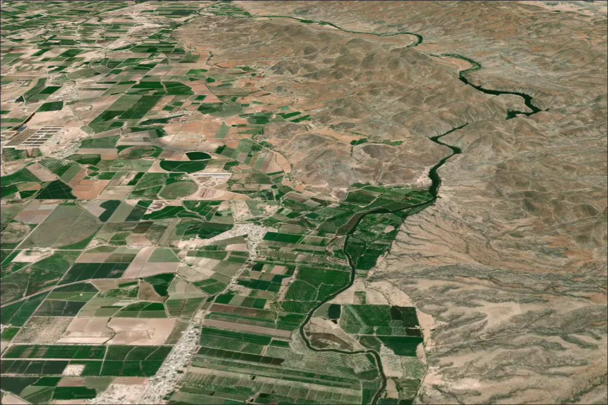
Lens is a cost-effective, easy-to-use web application that brings together satellite, aerial, and environmental data for efficient and effective assessment, monitoring, and reporting for agricultural lands.
From honing in on individual fields to understanding statewide trends, Lens can help your staff answer decades of questions in mere seconds.
.webp)
Understand fallow field status, irrigation trends, and historical context.
See ownership data and get notified when a parcel changes hands.
View data across enrolled parcels, spot outliers, and
pinpoint key changes.

Learn how remote monitoring tools can support agricultural land management, improve farm records, and evaluate current use. This webinar is perfect for Departments of Agriculture, natural resource offices, and agriculture taxation programs.

.png)
.png)
.png)
.png)
.png)